Arrival at County OffalySherwood Harrington
August, 2006
|
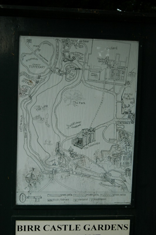
One of many maps of the Demesne mounted at various places in
the 135-acre estate. As might be expected, though, each map reflects the layout
of the Demesne at the time the map was erected -- which could be anywhere from
the mid-1800's (at which time the Parsons' occupancy of the site was already
more than two centuries old) to the present. This one, probably circa
mid-1900s, shows the Bothy (with smoke rising from a chimney) in the
upper-right.