|
|
|
|
Sherwood Harrington |
|
|
|
|
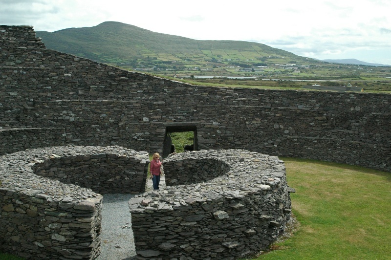
Diane inside the stone fort. The village of Cahersiveen
is at the foot of the hill in the background.
Most of the Ring of Kerry is covered at high resolution on Google Earth's
virtual globe, including this fort. If you zoom in on these coordinates,
the inner ring structure shown here is clearly visible:
51°57'21.47"N
10°15'28.04"W
 |